Jakob Braun · 14 November 2026
Avian Records at Perchmill Brook Drive Farmer-Ornithologist Partnerships and Boundary Revisions
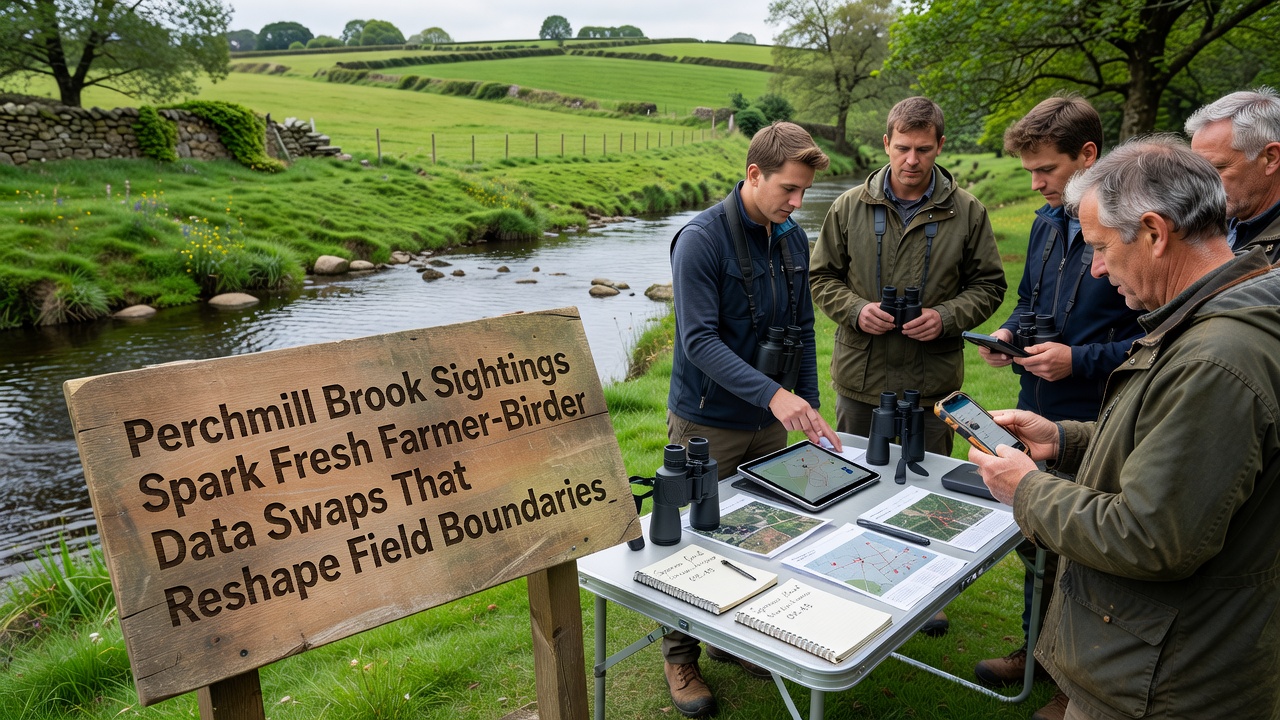
Perchmill Brook has drawn attention from local observers since early autumn when repeated sightings of wetland species prompted systematic recording across adjacent farmland, and those records have now fed into structured data exchanges that allow farmers to adjust planting lines and hedgerow margins without disrupting nesting sites. Researchers tracking the brook’s avian activity note that multiple species, including water rail and reed bunting, have reappeared in numbers not recorded locally for several seasons, which in turn has encouraged farmers to share GPS coordinates of sensitive zones with volunteer birders who maintain seasonal logs.
November 2026 Monitoring Efforts
During November 2026 field teams completed a second round of coordinated surveys that combined drone imagery with ground counts, and the resulting datasets were formatted for direct upload into farm management software so that boundary markers could be shifted by as little as three metres where nests were confirmed. Observers note that the process relies on weekly data hand-offs rather than formal contracts, allowing participants to update records as new sightings occur while maintaining confidentiality around exact nest locations.
Data Exchange Mechanisms
Farmers supply soil and crop rotation details that birders cross-reference against habitat suitability models, whereas birders contribute timestamped location points that feed into simple mapping layers used by tractor guidance systems. One farmer who participates described the exchange as a practical way to avoid accidental disturbance during spring cultivations, and the same datasets have already been used to identify three field edges where delayed mowing preserved cover for late broods. Studies from the British Trust for Ornithology show similar patterns in other catchments where shared records reduced incidental nest loss by measurable margins, and those findings have encouraged additional Perchmill landowners to trial the same approach.
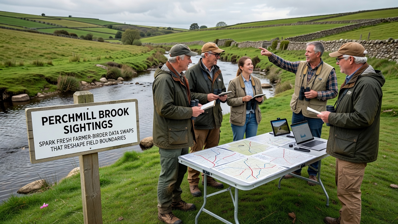
Participants maintain a shared cloud folder that both groups can edit, which means boundary adjustments appear in real time on the farm’s planning maps without requiring separate meetings each time a new sighting arrives. The arrangement has produced a running log of more than 180 verified records since September, covering both resident and passage species that move through the brook corridor.
Boundary Adjustments in Practice
Adjustments so far have concentrated on three parcels where reed margins meet arable edges, and the revised lines allow a five-metre buffer that remains uncultivated during the breeding window. Data collected through the swaps also flagged one drainage ditch that required minor re-profiling to maintain water levels suitable for waders, and the work was completed in coordination with the local drainage board using the same mapped layers. Figures released by the project indicate that participating farms have altered a combined 1.8 kilometres of field margin this season, with further revisions scheduled once winter counts are complete.
Additional farms outside the immediate brook corridor have requested access to the anonymised dataset, which suggests the model may extend to neighbouring parishes if the current participants continue to report stable or improved crop yields alongside the habitat measures. External analysis from the British Trust for Ornithology supports the value of such fine-scale data for predicting distribution shifts, while parallel work at Cornell Lab of Ornithology demonstrates how farmer-birder exchanges have produced comparable boundary refinements in North American grassland systems.
Conclusion
The Perchmill Brook initiative continues to generate updated records that feed directly into farm planning tools, and the resulting boundary revisions remain visible on the ground as altered mowing patterns and retained vegetation strips. Ongoing participation depends on consistent data quality and voluntary compliance, yet the volume of sightings logged through November 2026 indicates that the exchange framework is now embedded in local practice.